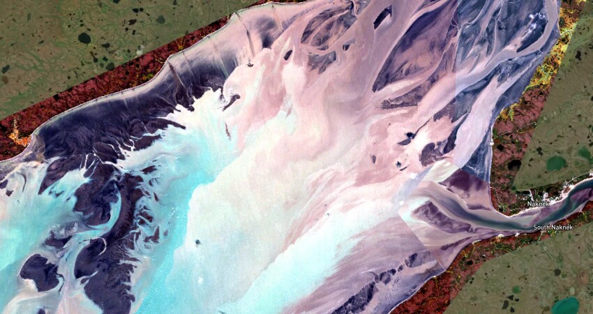
The shallows of Bristol Bay and the river deltas that feed it can be a maze of shifting channels that prevent fishermen from targeting concentrations of salmon, or can leave boats and nets dry and vulnerable to a citation.
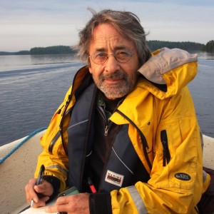
“It’s a very dynamic environment and the NOAA charts that most plotters use can’t keep up with the changes. They can be wildly out of date,” says Chris Hager, who has developed the app Bristol Maps, which offers more timely satellite imagery of the bay. The app is providing commercial and recreational fishermen with valuable information, and new features will be introduced at the Pacific Marine Expo in Seattle from Nov. 20 to 22 at booth 4333.
“What we do is look for the perfect combination in the existing satellite images,” says Hager. “The picture is taken when a satellite is passing over at low tide with clear skies. That’s the imagery we want. The trouble is that Bristol Bay is not an area with a lot of demand for images, so the stars have to align for us to get what we need. We try to get one or two new images of each area per year.”
Hager uses a number of satellite constellations to collect the best available images for the app. “Primarily the NOAA satellites and the European Space Agency’s. I also use Planet Lab, and some others, but that can be expensive, like several thousand for a high-resolution image.”
For a subscription fee of $150 a year, the app offers access to satellite maps of each district, as well as parts of Prince William Sound and the Cordova area.
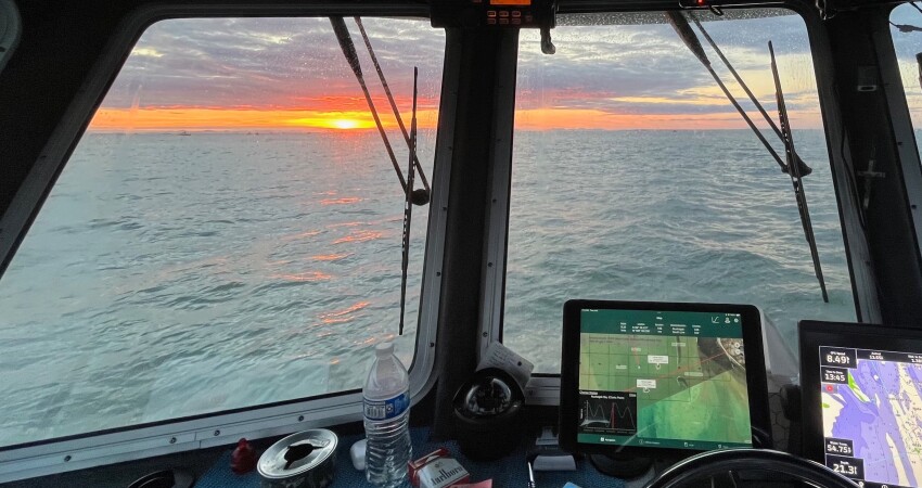
“Right now, it doesn’t integrate with any plotter software. But you can get the app for iPad or an Android tablet,” says Hager, noting that it can also be downloaded onto a phone. “You can see your position on the app, within a couple of meters depending on the device and the GPS.”
A YouTube tutorial offers a deeper exploration of the features of the app, including everything from setting up waypoints to creating groups.
“About half the fleet is using it,” says Hager. “And we’re getting really good feedback. For instance, there’s an area called Dead Man’s Sands, which is a large sketchy place at the entrance of the Kvichak River. The channels are always changing, and you can find yourself in 10-foot breakers. Historically the charts of this area were unreliable, but the new imagery in our app has allowed people to start fishing it much more.”
New app features will be introduced at the Pacific Marine Expo. “We’re adding
tracking for live tender locations and live tender deliveries/capacity with landings integration, net/freight tracking/management,” says Hager.
With the advent of Artificial Intelligence, more improvements are in the pipeline. Hager plans to start using machine learning to help find the best images for the app.
“Another thing we’re playing with is a log system where customers can store all their data: catch, location, tide, weather at the time, and feed that into AI to enable our customers to analyze how and where they had their best catches. We hope to have that next year,” he says, noting the importance of prioritizing data privacy across all features.


